| FEDERAL PUBLICATIONS INC. |
| |
|
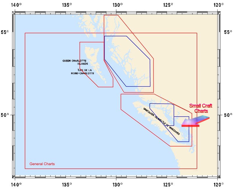
Nautical Charts: Pacific CoastFor information and pricing on charts of the Pacific Coast of Canada produced by Canadian Hydrographic Service, click an area of the index below, or on the links to the right of the map. Or complete a request if you would like us to send you a paper index.Digital Charts on CD-ROM are also available for this region.If you do not see what you are looking for, please feel free to ask us. |
|
| What's New · Home
· Search · Books on Canada · Canadian Maps and Charts · Ordering · Contact
Us ©Federal Publications Inc., 1998 - 2016 425 University Avenue, Ste. 401, Toronto, Ontario, Canada M5G 1T6 Phone: (416) 860-1611 or toll-free 1-888-433-3782 · E-mail: info@fedpubs.com |