| FEDERAL PUBLICATIONS INC. |
| |
|
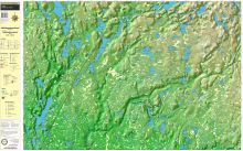
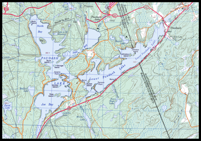
Regional Topo MapsFederal Publications carries a series of regional topographic maps and bathymetric maps that provide detailed land and water mapping of many areas throughout Ontario. Regional topographic maps provide precise and clear information on trails, road networks, and land features and are an attractive complement to government issue topographic maps. |
Haliburton South
Paudash Lake
|
|
|||||||||||||||||||||||||||||||||||||||||||||||||||||||||||||||||||||||||||||||||||
|
| What's New · Home
· Search · Books on Canada · Canadian Maps and Charts · Ordering · Contact
Us ©Federal Publications Inc., 1998 - 2016 425 University Avenue, Ste. 401, Toronto, Ontario, Canada M5G 1T6 Phone: (416) 860-1611 or toll-free 1-888-433-3782 · E-mail: info@fedpubs.com |