| FEDERAL PUBLICATIONS INC. |
| |
|
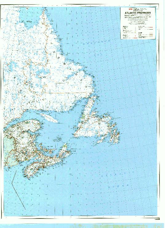
Maps of Nova Scotia, New Brunswick, Prince Edward Island and Newfoundland - ImagesLooking for a map of Atlantic Canada? See below for some pictures of regional maps available from Federal Publications. Or go to the Maps of Nova Scotia main page, Maps of New Brunswick main page, Maps of Prince Edward Island main page, or Maps of Newfoundland main page for complete listings.If you do not see what you are looking for, please feel free to ask us. |
| Atlantic Region
Nova Scotia Wallmap
|
|
|||||||||||||||||||||||||||||||||||||||||||||||||||||||||||||||||||||||||||||||||||||||

|
| What's New · Home
· Search · Books on Canada · Canadian Maps and Charts · Ordering · Contact
Us ©Federal Publications Inc., 1998 - 2016 425 University Avenue, Ste. 401, Toronto, Ontario, Canada M5G 1T6 Phone: (416) 860-1611 or toll-free 1-888-433-3782 · E-mail: info@fedpubs.com |