| |
- Paper maps and Waterpoof maps are normally sent
pre-folded. If you would prefer that we send them rolled in a tube, please
specify in the Special Handling Instructions field on our Shipping Information
page during checkout.
- Topographic maps show the detail of the land and its
surface features. They do not show water depths. We also sell nautical charts with the depths of major
waterways.
|
| Map Number |
Scale |
Name |
Paper
$12.45 |
Waterproof
$17.95 |
| 011E15 |
1:50,000 |
Pictou Island |
 |
|
| 011E16 |
1:50,000 |
Malignant Cove |
|
|
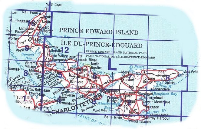
| 011L |
1:250,000 |
Charlottetown |
|
|
| 011L01 |
1:50,000 |
Boughton Island |
|
|
| 011L02 |
1:50,000 |
Montague |
|
|
| 011L03 |
1:50,000 |
Charlottetown |
|
|
| 011L04 |
1:50,000 |
Cape Tourmentine, NB |
|
|
| 011L05 |
1:50,000 |
Summerside |
|
|
| 011L06 |
1:50,000 |
North Rustico |
|
|
| 011L07 |
1:50,000 |
Mount Stewart |
|
|
| 011L08 |
1:50,000 |
Souris |
|
|
| 011L12 |
1:50,000 |
Malpeque |
|
|
| 021I08 |
1:50,000 |
Cape Egmont |
|
|
| 021I09 |
1:50,000 |
O'Leary |
|
|
| 021I16 |
1:50,000 |
Tignish |
|
|
| 021P01 |
1:50,000 |
North Cape |
|
|
|
|