VNC: VFR Navigation
Charts
The Visual Navigation Chart (VNC) is used by VFR pilots on
short to extended cross country flight at medium altitudes and at low to medium
airspeeds. The chart displays aeronautical information and sufficient
topographic detail to facilitate air navigation through the use of a unique
colour scheme, layer tinting, and shaded relief.
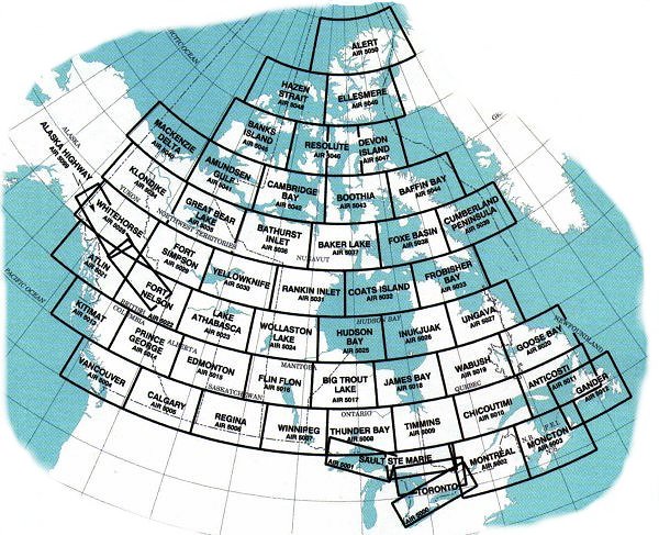
See below for an index to VFR Navigation (VFR) Charts,
produced at a scale of 1:500,000. Detailed information is available by clicking
on an area of the map, or see our price list to order.
VNC Charts are only available in paper format. The price is
$16.50 each.
If you do not see what you are looking for, please feel free to
ask us. |