| FEDERAL PUBLICATIONS INC. |
| |
|
Maps of North America - Images |
Looking for maps of North America? See below for pictures of North America maps available from Federal Publications.If you do not see what you are looking for, please feel free to ask us. |
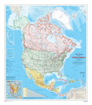 |
North America Wall Map: National Atlas series
map; brightly coloured; available in English or French; shiny paper. Published: 2008 Size: 34 in. X 39 in. or 86.4 cm X 99 cm Scale -- 1:10,000,000 MCR0031 $10.75 |
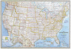 |
United States Political
Paper Wall Map: National Geographic wall map including state capitals. Published: 2007 Size: 43" x 30" Scale -- 1:4,560,000 602003 $22.50 |
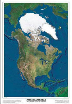 |
North America Satellite
Poster: Laminated satellite poster of North America. Published: 1999 Size: 26" x 38" Scale -- 1:13,650,000 WSL-N.AMERICA on sale $10.00 (reduced from $24.95) |
Price and availability subject to change. Shipping and applicable taxes extra. Questions about anything on this page? Please e-mail us. This page last modified: April 25, 2012 |
| Maps of North America main page |
| What's New · Home · Search · Books on Canada · Canadian Maps and Charts · Ordering · Contact Us |
©Federal Publications Inc., 1998 - 2012 425 University Avenue, Ste. 401, Toronto, Ontario, Canada M5G 1T6 Phone: (416) 860-1611 or toll-free 1-888-433-3782 · E-mail: info@fedpubs.com |